GPS/Fishfinders/Chartplotters
QUESTIONS WE OFTEN HEAR FROM FISHFINDER & GPS BUYERS
Not sure where to start? Here are answers to some of the most common questions we hear from anglers and boaters.
Fishfinders use sonar technology to help locate fish, identify underwater structure, and monitor water depth, making them valuable tools for anglers of all experience levels.
Built-in GPS allows you to mark fishing spots, create routes, navigate waterways, and return to productive locations with confidence.
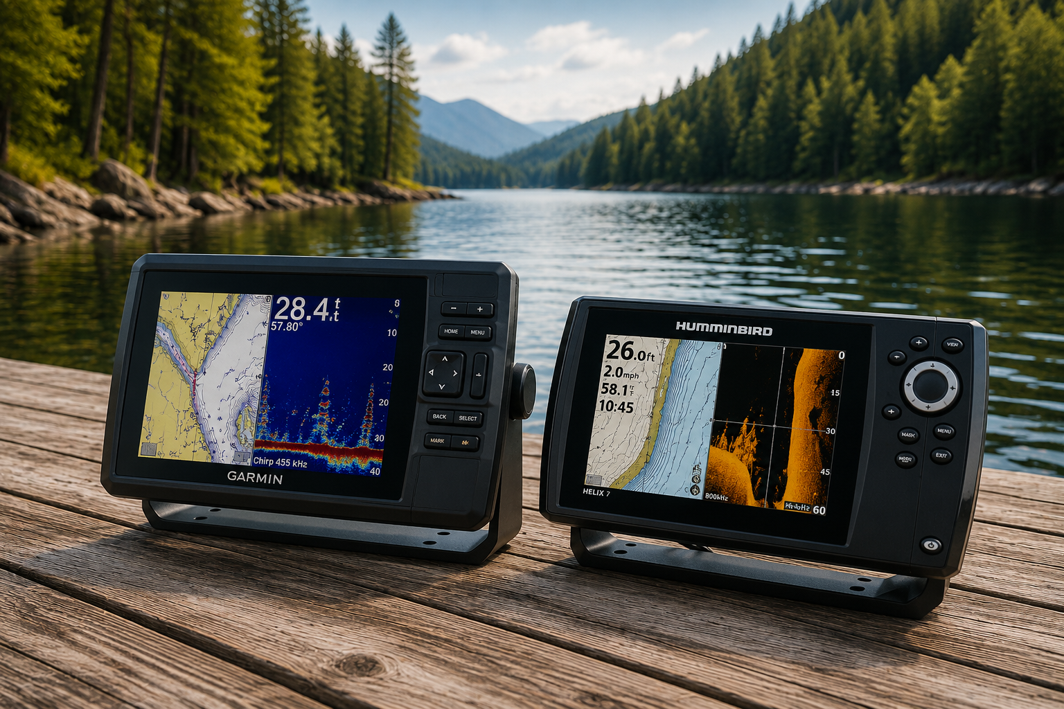
Both Garmin and Humminbird offer excellent fishfinders and chartplotters. The best choice depends on your preferred features, display options, mapping needs, and fishing style.
Filters


More Questions From Fishfinder & GPS Buyers
Still deciding? Here are answers to additional questions buyers often ask when comparing fishfinders & GPS devices.
A fishfinder focuses on sonar and underwater imaging, while a chartplotter uses GPS and mapping technology for navigation. Many modern units combine both functions in a single display.
Screen size depends on your boat, viewing distance, and preferences. Larger screens can make it easier to view sonar, maps, and split-screen functions simultaneously.
Fishfinders use sonar to identify fish, bait schools, underwater structure, vegetation, and changes in bottom contours that may attract fish.
Side imaging scans areas to the left and right of your boat, while down imaging provides detailed views directly beneath your vessel for enhanced underwater visibility.
Many anglers and boaters benefit from detailed mapping. Lake maps help identify contours and structure, while coastal charts assist with navigation and offshore planning.
Yes. Many compact fishfinders and GPS units are designed specifically for kayaks, small boats, and portable fishing setups.
Popular accessories include transducers, mounting systems, mapping cards, protective covers, batteries, networking components, and trolling motor integration equipment.